Another perspective on the Iron Horse Trail
This post is cross-posted to the TriTAG blog. Go there to leave any comments.
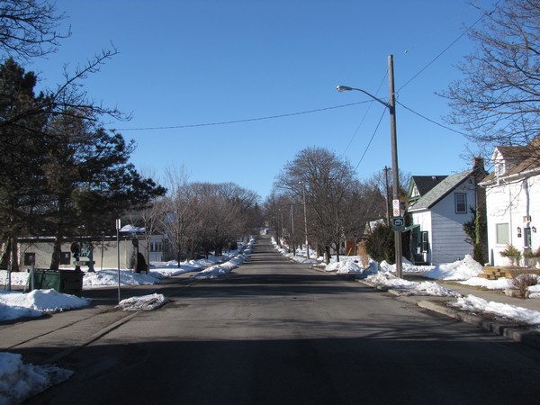
It can be insightful to take another perspective on something we’re used to. Yesterday I walked the length of Kitchener-Waterloo’s Iron Horse Trail and photographed it from its most common vantage points — the roads crossing it. There is little immediately evident in these photos, but I will explain below.
-
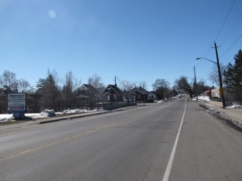
- Ottawa St, Kitchener. The trail starts here.

-
- Borden Ave, Kitchener.
-
- Kent Ave, Kitchener.

-

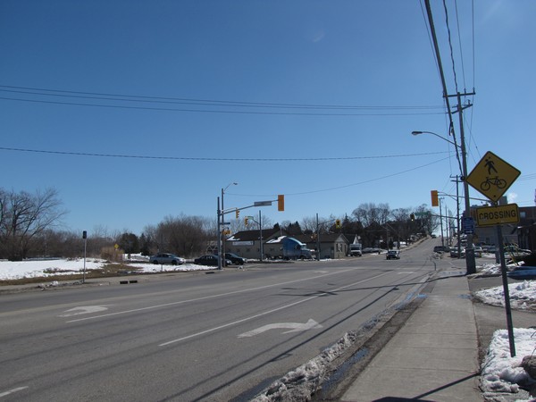
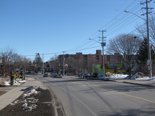
- Courtland Ave & Stirling Ave, Kitchener. Trail users presumably need to cross at the signalized intersection.
-
- Madison Ave, Kitchener.

-

- Mill St, Kitchener.

-
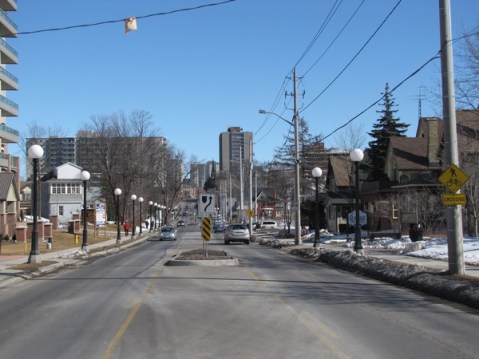
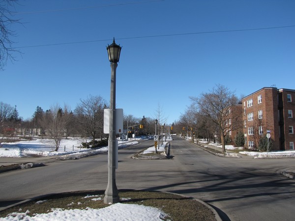
- Queen St, Kitchener. In the middle is a pedestrian refuge.

-

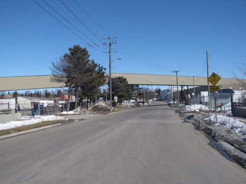
- West Ave, Kitchener. Most trail users cross here (as did the old railway), though they are supposed to go to the signalized intersection with Victoria St.
-

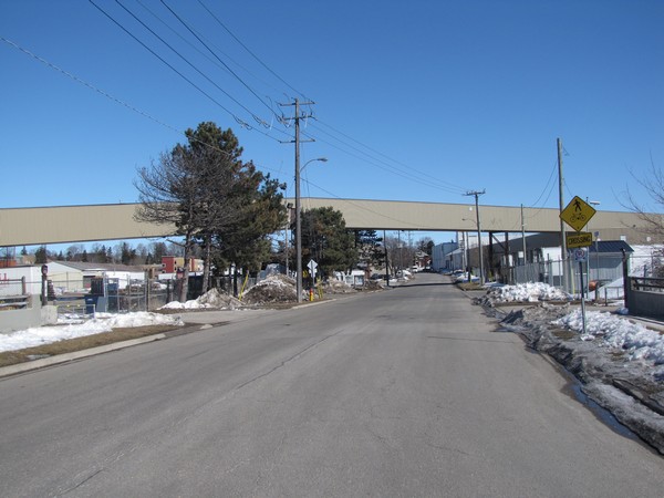
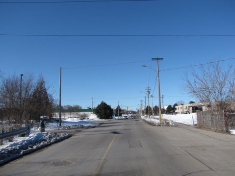
- Victoria St, Kitchener. Most cross the busy road here and cut straight through instead of taking the long detour to the light.
-
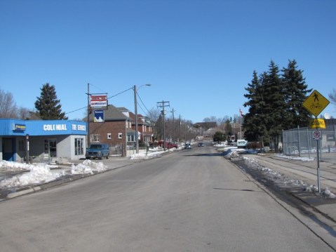
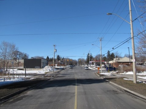
- Gage St, Kitchener.

-
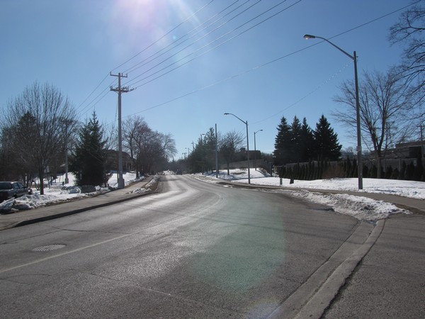
- Glasgow St, Kitchener.

-

- Union St & Esson St, Kitchener.
-

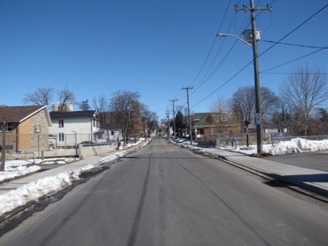
- John St, Waterloo.
-

- Park St, Waterloo.
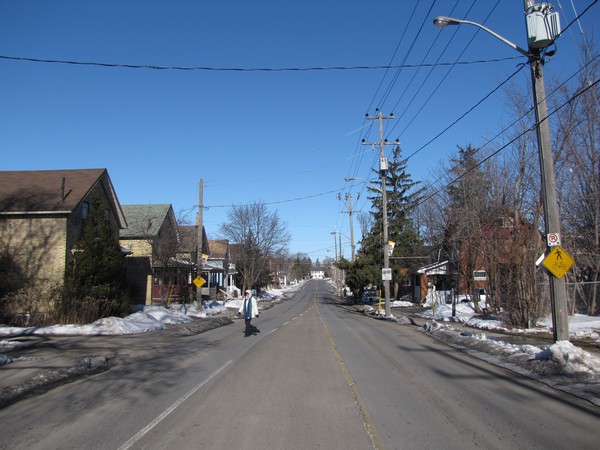
What these photos show is the absence of anything to indicate the presence of the Iron Horse Trail. Which is a problem. How can we expect motorists to be mindful of a major path crossing if they cannot see it? Pedestrian infrastructure for the crossings is needed in order for motorists to give due attention to trail users, for the safety and improved experience of those trail users, and for better awareness of the Iron Horse Trail itself.
The Iron Horse Trail warrants raised crossings that are visually distinct from the rest of the road, but at the very least it should have zebra crossings.
